

When wildfires rage and threaten to devour everything in their path, fast and coordinated reaction is key.
The complex choreography of wildfire responders requires fast and efficient communication, ideally with data. Firefighters, notwithstanding airborne or on the ground, today mainly rely on radio communication for relevant and current mission information.
Situational awareness for better mission coordination
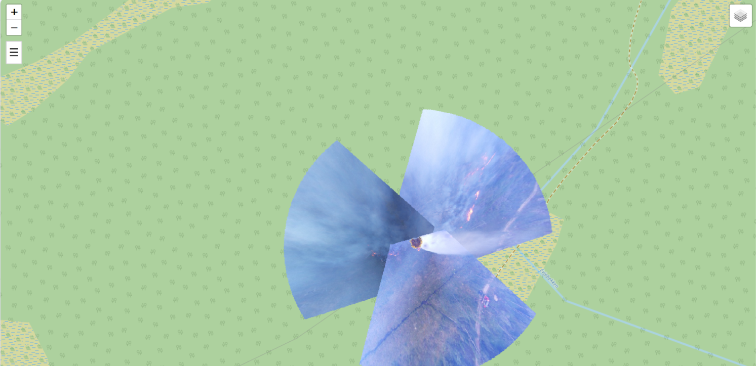
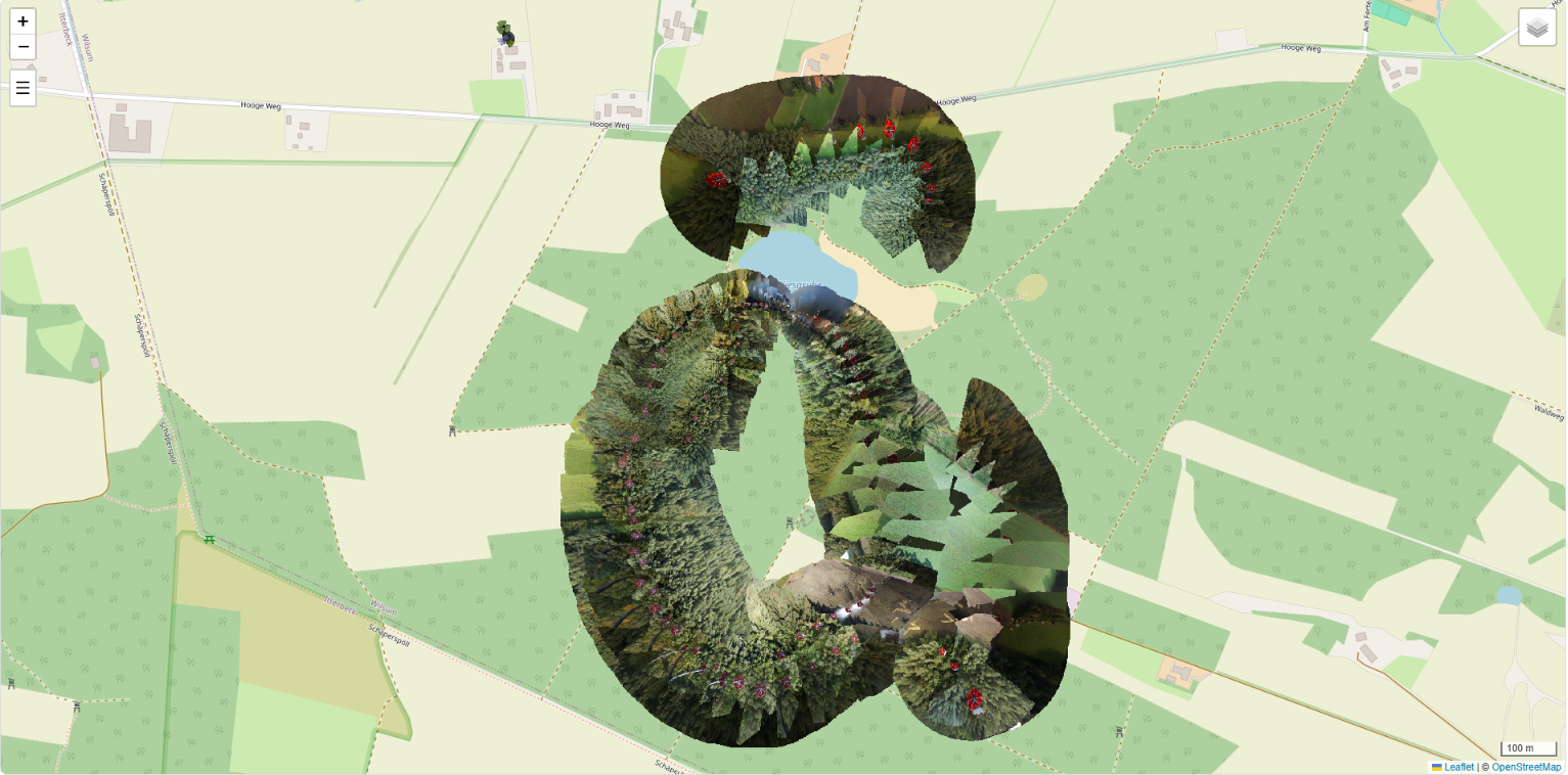
Information like processed and georeferenced images of helicopter water drops, bucket fillings, ground heat profiles and other parameters. These are some of the data the CAURUS Technologies sensor makes available during aerial firefighting.
Making these images available independent of the user’s location or of a specific software triggered CAURUS Technologies’ team to develop a new browser-based access to display the sensor data. Via our “Web Map” data on the water container can now be projected on maps and accessed remotely via individual digital devices. The “WebMap” application can also be linked to existing command systems – depending on the user’s preferred choice.
Helicopter and sensor tracking independent of location
The “Web Map” application offers the user a choice of views like helicopter flight tracks, the water filling, the water drop and the time in between. Users can choose the locations that are of priority to them and download extracts for further analysis. The Web Map view can be tailored to the user’s personal needs, helping to quickly select the data that is relevant.