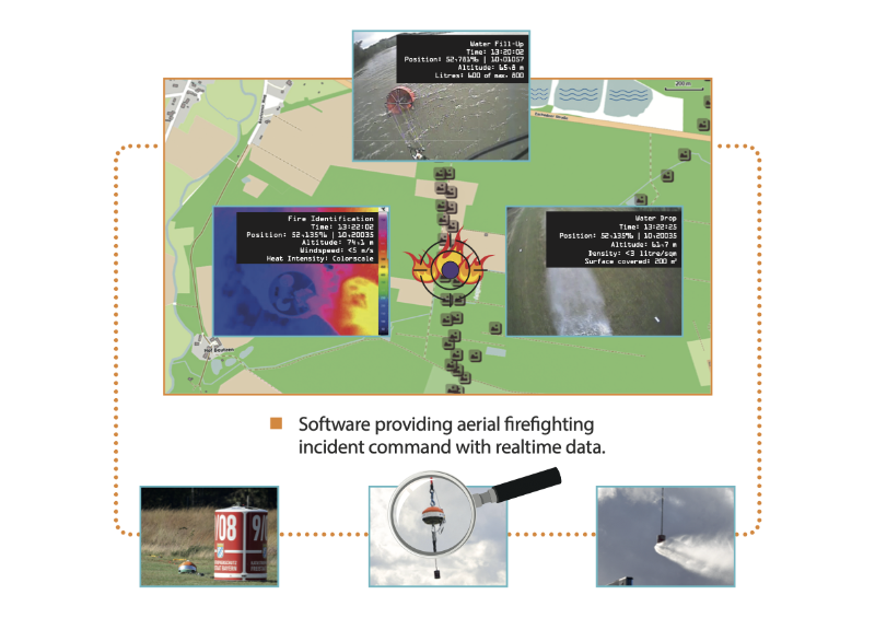
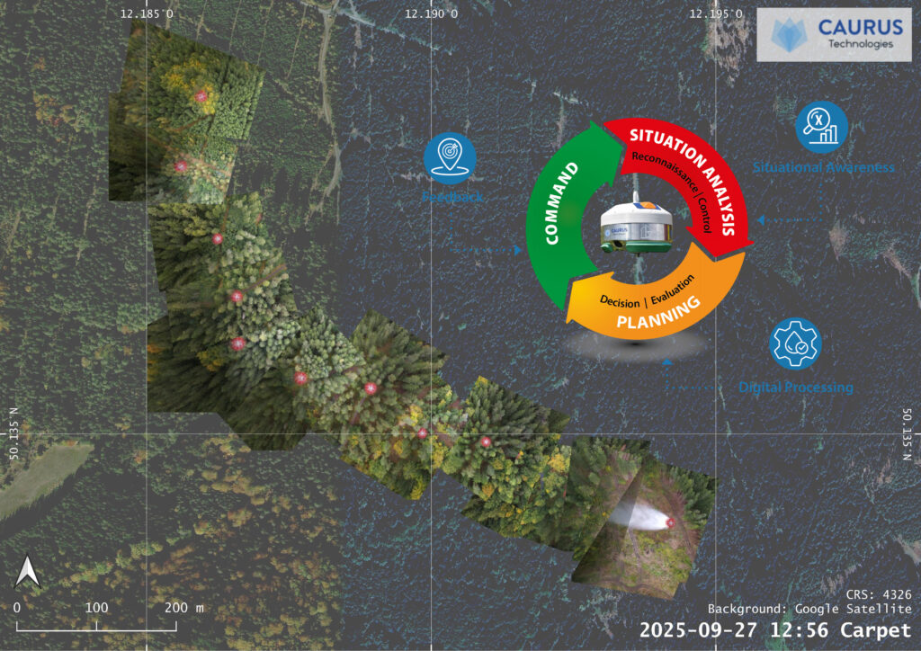
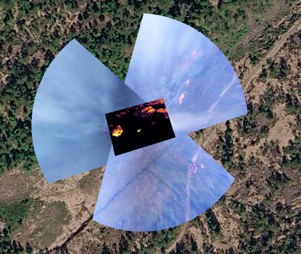
Realtime data gathered during firefighting missions from the air improves situational fire and fire source awareness plus measurability of extinguishing impact
AI-based analytical software
Equipment
Data processing software
AI algorithm for data/image analysis
Easy integration/customization into client infrastructure
Visualization options of realtime images
Heat intensity profiles (e.g. for identification of optimal water drop locations)
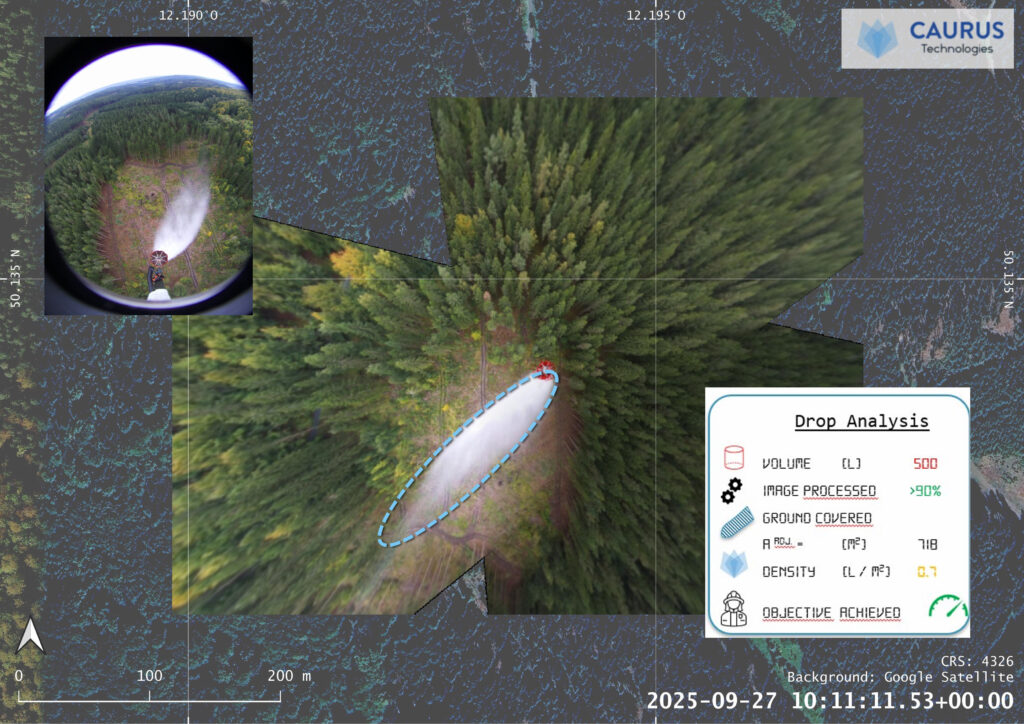
Position of fire source & water drops
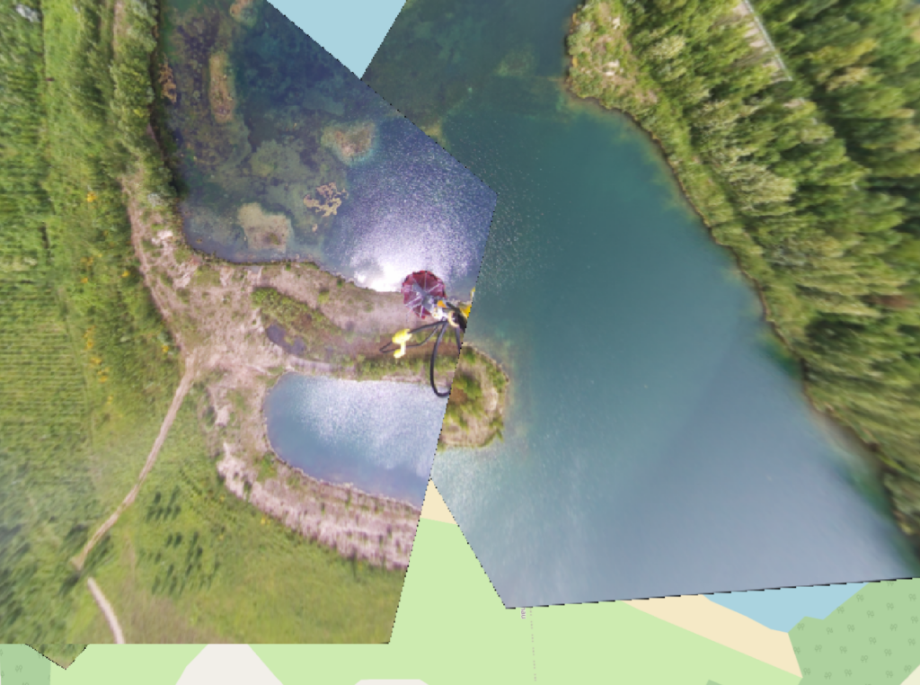
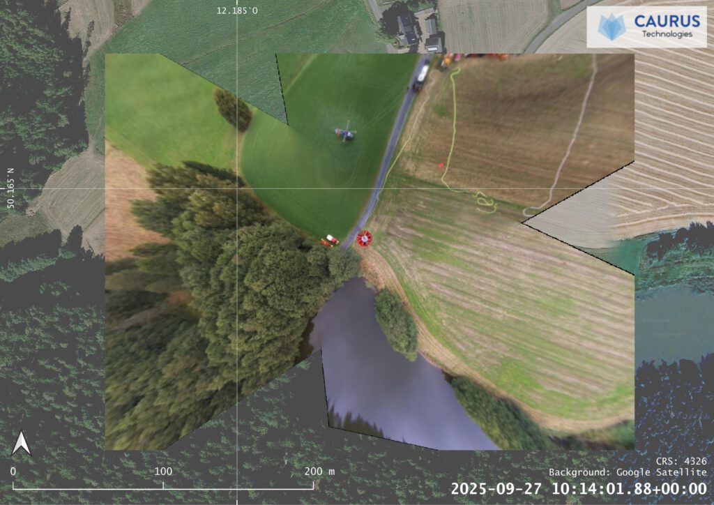
Position & visualization of available locations for water filling
Details (time, quantity) of water fill & water drop
Details of water drop missions (altitude, speed)
Analysis of density of water drop, e.g. in litres/m²
Surface covered by water drop
Details on civil and firefighting equipment as well as people operating on the ground
Function
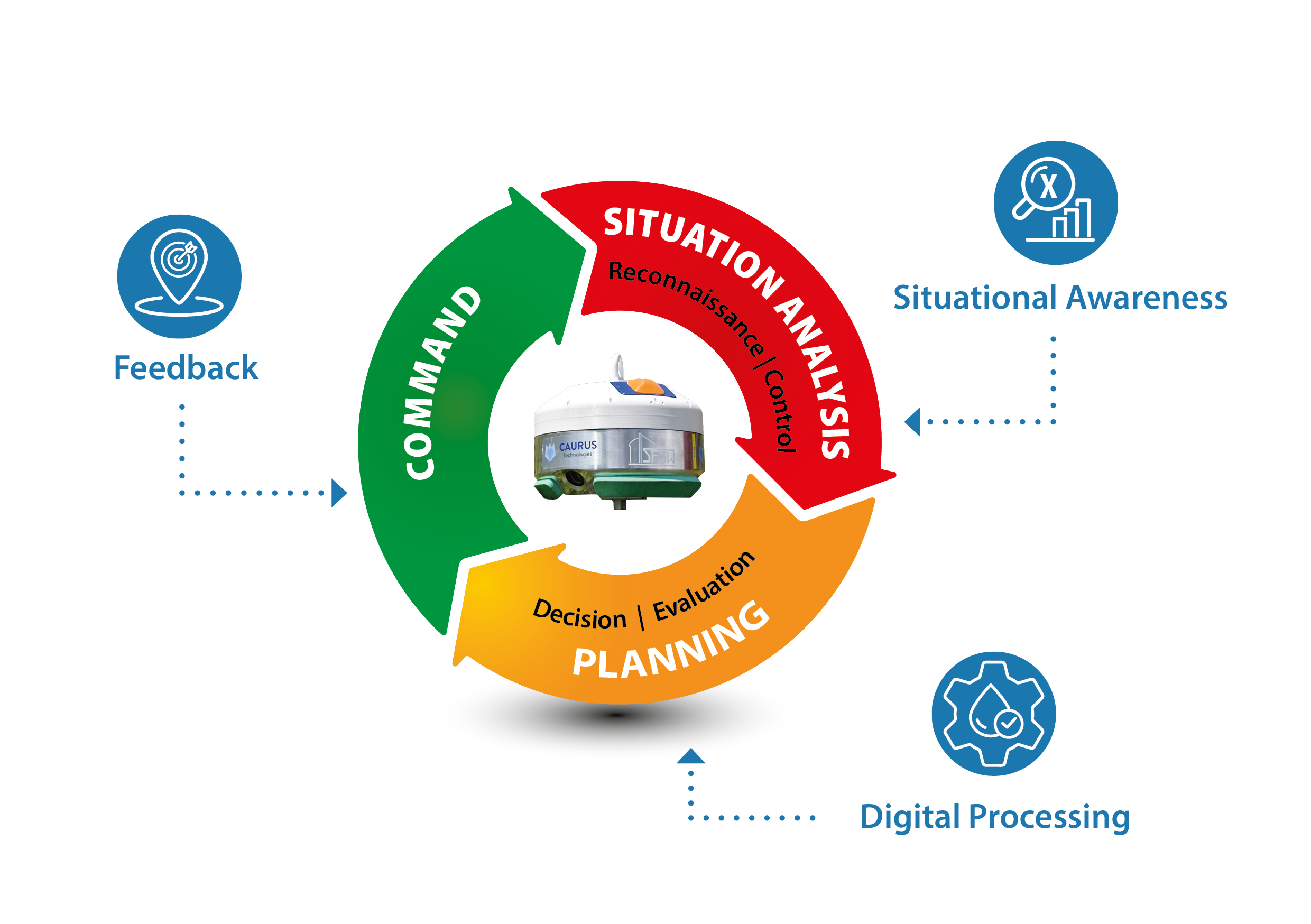
The software allows the optimisation of external load missions.
Collected data is transmitted in realtime to the incident command on the ground.
Eingespeist in den Führungskreislauf der Feuerwehren tragen diese zur Anpassung von Einsatztaktiken bei.
Downloads
We are happy to share more information on our solutions. In return, please share with us some of your data and why you are interested in our products. We will handle all data with care. Register here for access.